Advanced 3D Geological Modeling & Geotechnical Solutions
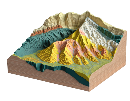
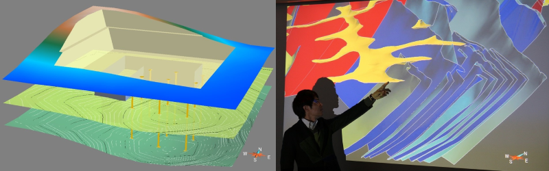
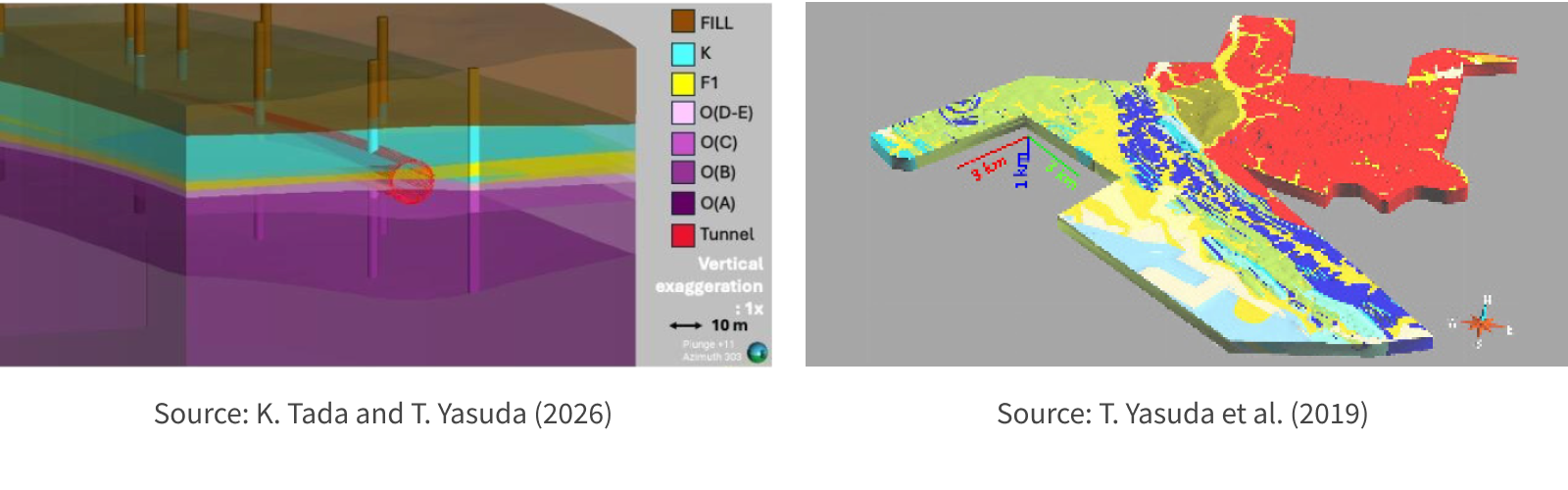
We integrate comprehensive regional and local geological datasets, leveraging our geologists' deep expertise to deliver spatial interpolations. Our proven track record includes developing the national 3D geological model of Singapore and integrating the 3D geological model with architectural model for design and construction of bored tunnel in Singapore. Additionally, we have delivered 3D geological models for major infrastructure projects in Japan, Indonesia, Laos, and Turkey.
Maximizing Project Value from the Ground Up
Geological surveys and interpretations sit at the very forefront of civil engineering, guiding every subsequent phase from engineering and construction to long-term maintenance. As 3D geological modeling becomes the global standard, our solutions offer distinct advantages:
Risk Visualization
Clearly identify geological risks that could critically impact structural integrity.
Data-Driven Insights
Models are built on comprehensive field data, observations, and expert analyses, ensuring maximum reliability.
Practical Application
Streamline operational requests, such as excavation volume calculations and optimal facility/road alignments.
3D Analyses
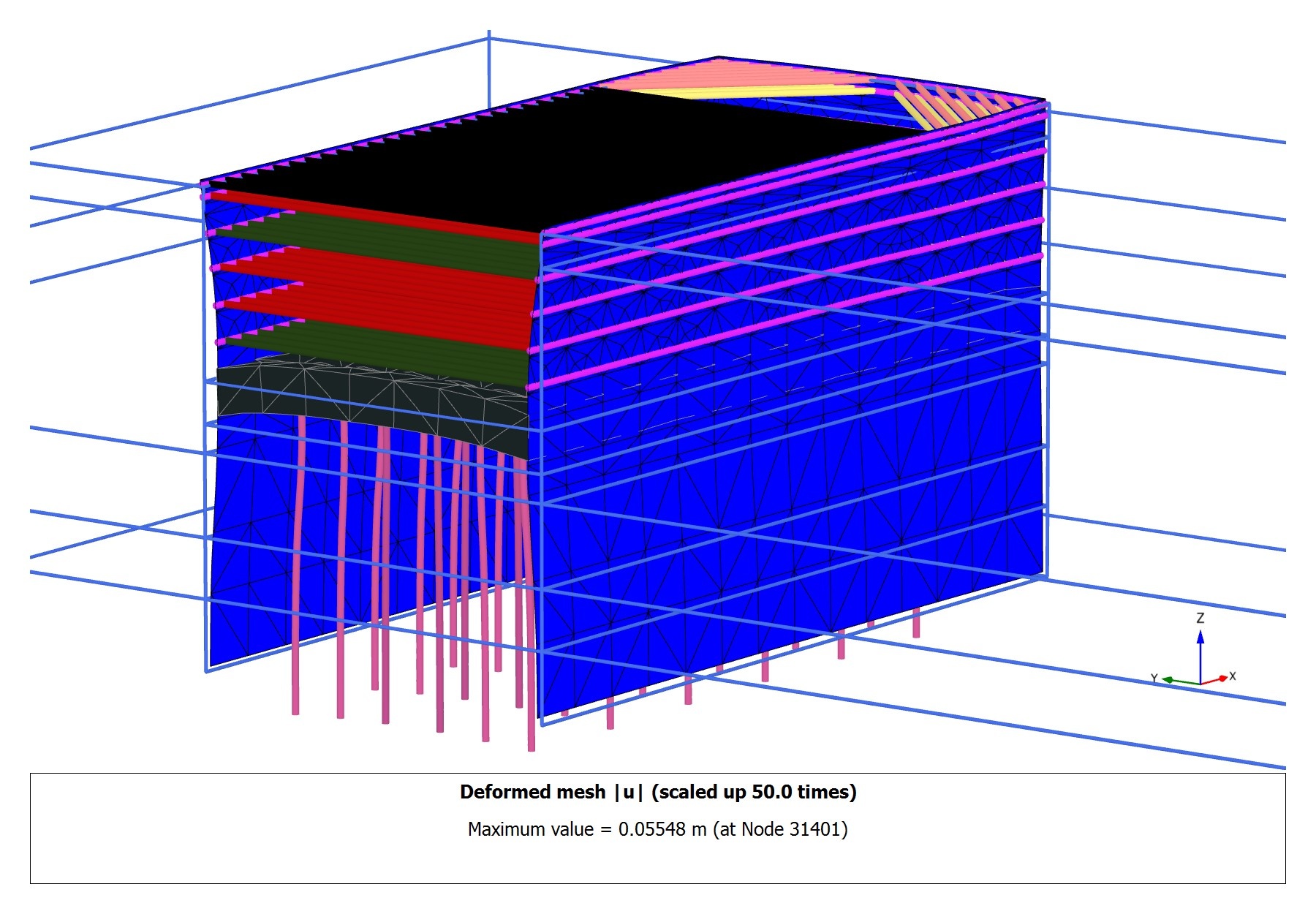
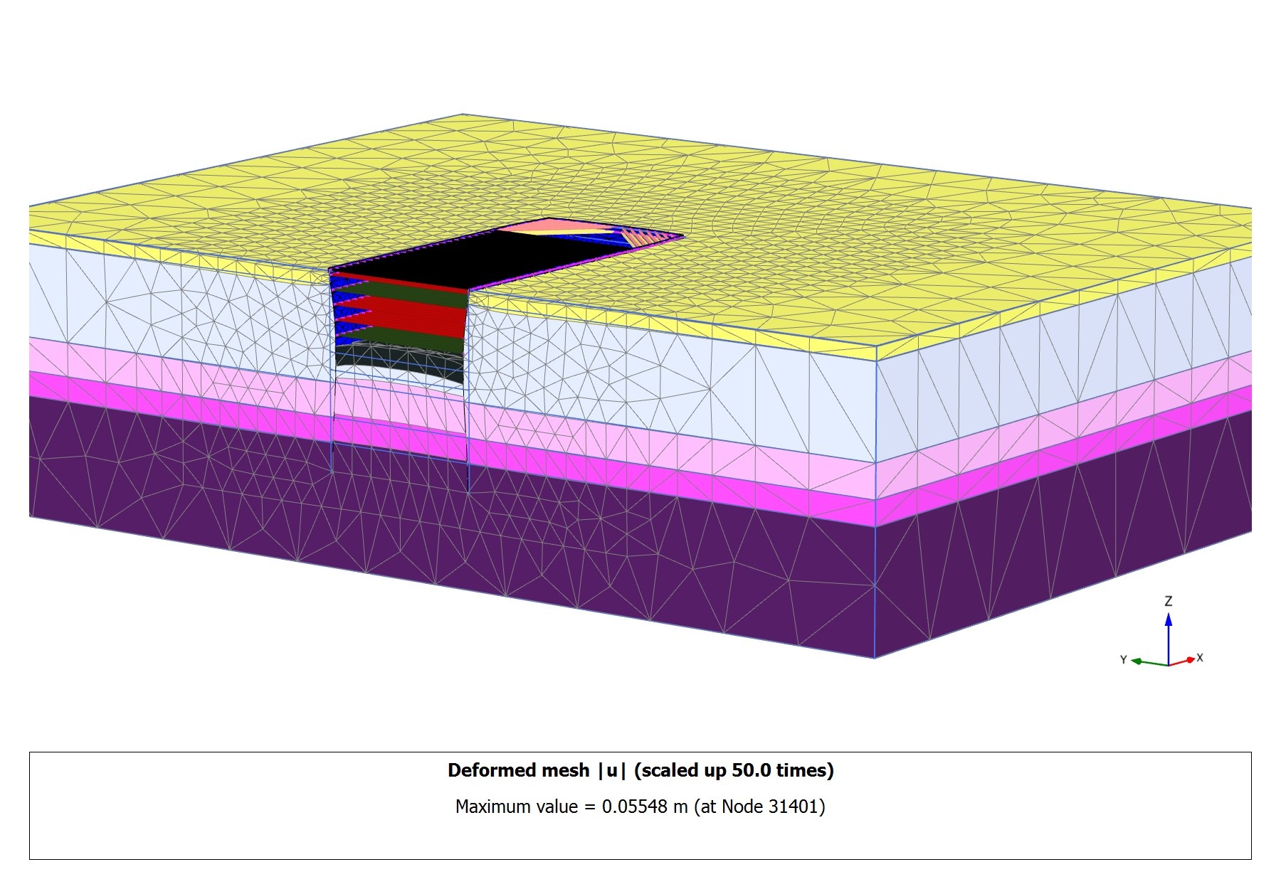
The complexity of many underground work requires multiple unique engineering solutions, both in term of design & construction. Advanced FEM is a useful tool to carry out vigorous analysis to better understand complex engineering challenges in construction. Most importantly, it helps geotechnical engineers anticipate ground response at each critical stage of construction.
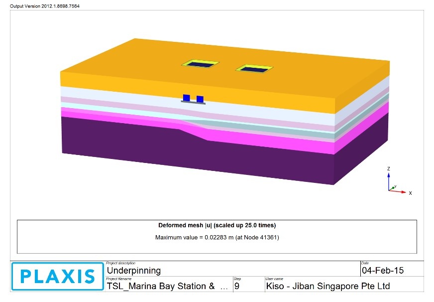
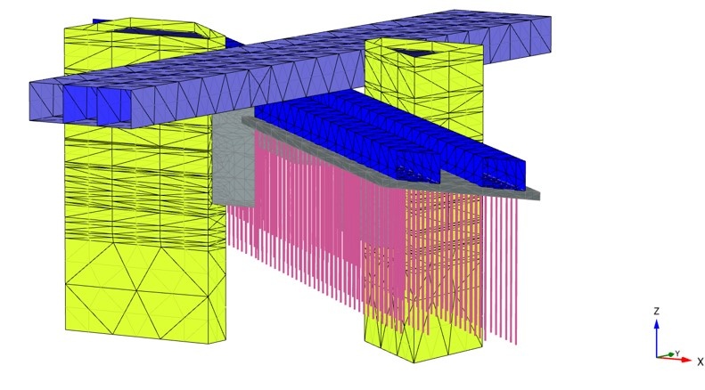
In project 1, the design and construction of MRT structures has become more complex due to the congested environment especially when it comes to building interchange station. Interchange station will have to be constructed deeper and abutting to “live” MRT structures which may require underpinning works. The stringent requirements within the MRT reserve pose many challenges to designers to develop a safe and robust construction solution. PLAXIS 3D has been used to model and analyse the complex construction and to provides comprehensive ground deformation prediction.
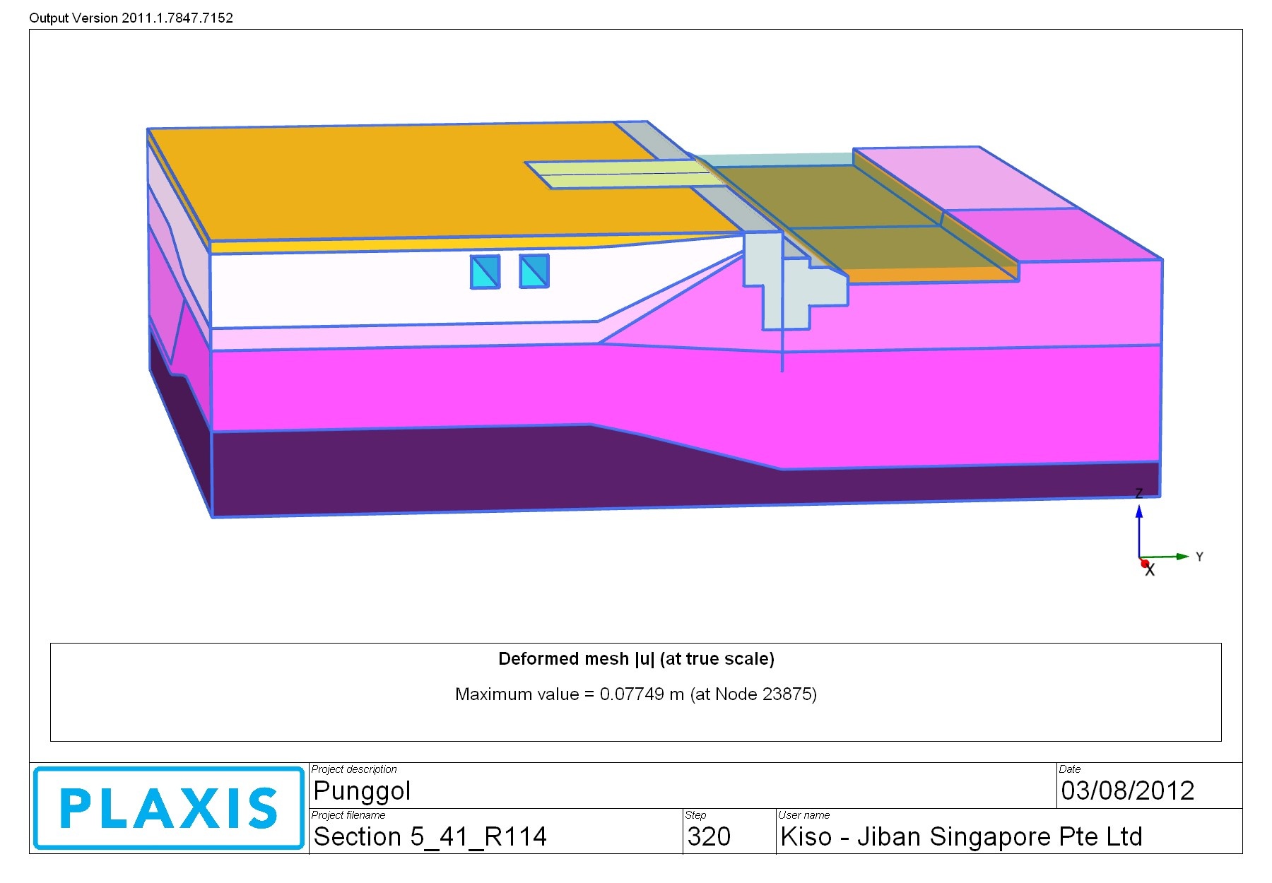
In project 2, the design and construction of deep basement for building at close proximity to existing MRT tunnels and waterway pose many challenges to designers to develop a safe and robust construction solution. PLAXIS 3D has been used to model and analyse the construction by considering 3D corner effect to provide reasonable and comprehensive ground deformation prediction to meet the stringent movement requirement.
In project 3, PLAXIS 3D has be used to analyse overall excavation in one model instead of PLAXIS 2D where more than 2 analysis models may be required. The 3D FEM takes into account corner effect. Therefore, the design of each strut and water, as well as reinforcement in the earth retaining wall, can be optimised.
Project 1: Marina Bay Station Underground Construction
Project 2: Punggol Waterway Residential & Commercial Building Basement Construction
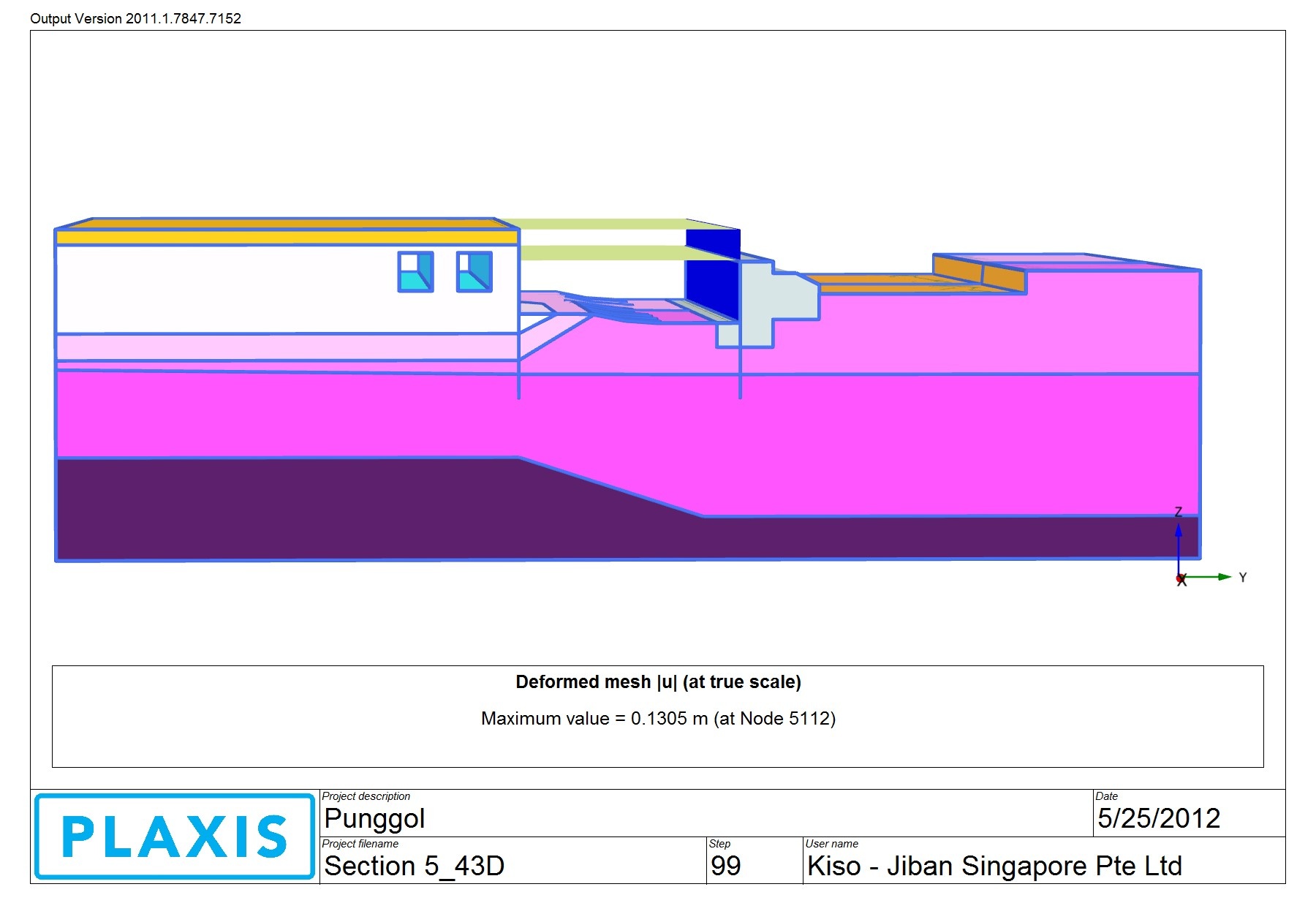
Project 3: Case Study using PLAXIS 3D to design & analyse overall excavation